Enhance efficiency, reduce costs, and elevate customer experiences with IDS’s pioneering Retail Property Optimization


Capture
Instantly document high-resolution imagery and robust data with the IDS Capture app and Certified Imagery Network.
Explore
View every inch of your property at anytime from anywhere with the fully immersive IDS Viewer.
Inform
Access automated reporting and streamlined data sharing to help make critical decisions.
Whether on your own or through our extensive Certified Imagery Network, the IDS Capture app empowers your business to create fully immersive virtual representations of all of your facilities on your desired timeline. By efficiently capturing detailed, high-quality imagery all in one place, we help your business make better decisions anywhere by streamlining audits, property maintenance, site projects, reporting processes, and more.

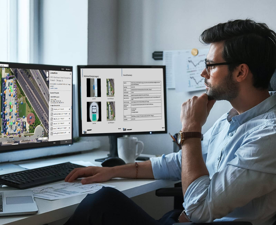
Through the web-based IDS Viewer, access all of your facilities’ imagery, data, and reporting to place yourself within any one of your sites – anytime, anywhere. Immerse yourself in 2D and 3D virtual environments through 3DVR, 360° walkthroughs, high-definition aerial and terrestrial imagery, floor plans, and more to effectively manage project life cycles from start to finish. From inspections to surveys and site assessments, IDS Viewer is designed to bring your virtual environment to life.
In bringing immersive, high-definition imagery and actionable data together in one place, our platform helps facilitate more informed and effective decision-making at any stage of your project. Our Report Engine with AI capabilities allows you to extract the data and imagery you need into detailed reports, so you can communicate seamlessly with vendors, onsite personnel, architects, bid contractors, and more to align on the goals and needs of your facilities – and your business.

Schedule a demo today to begin experiencing your facilities from a whole new angle – anytime, anywhere.
Curious how IDS fits into your budget? Generate a quote to see the estimated cost for our services.
Save money spent on travel and field work resources by decreasing site visits, improving lag time, and enabling anytime access to the imagery and data you need to make more cost-effective decisions.
Leverage our extensive field network and robust data platform while collaborating with stakeholders in real time to inform more efficient and precise decision-making.
Access detailed reporting, data sorting, analytics, and more, powered by AI to streamline analysis and alignment toward the goals of your business.
Save time by letting our extensive, nationwide field network do the legwork, getting onsite quickly to help you access your properties virtually from anywhere in the world.
Access your virtual environment that's even better than being onsite, with the right shots at the right angle and perspective to see more than you could from the ground or the ladder.
Receive personalized support and scalable, tailored solutions with help from a trusted and collaborative partner.

Our survey solution creates immersive 360° aerial imagery, terrestrial scans, and 3D building models to conduct all projects for real estate, architects, marketing, and sales with as-built conditions, 3D content, and virtual site visits.

Help retailers visualize their remodel initiatives from a centralized location to make critical business decisions. Leverage up-to-date visual and dimensional information for asset documentation, site maintenance, remodel projects, visual merchandising, and marketing.

Access clear visual and dimensional data for size, layout, and quality control. Achieve reduced timelines for parking lot inspections, assessments, and visibility, as well as streamlined communications to onsite vendors for construction and space management details.

Our survey solution creates immersive 360° aerial imagery, terrestrial scans, and 3D building models to conduct all projects for real estate, architects, marketing, and sales with as-built conditions, 3D content, and virtual site visits.

Help retailers visualize their remodel initiatives from a centralized location to make critical business decisions. Leverage up-to-date visual and dimensional information for asset documentation, site maintenance, remodel projects, visual merchandising, and marketing.

Access clear visual and dimensional data for size, layout, and quality control. Achieve reduced timelines for parking lot inspections, assessments, and visibility, as well as streamlined communications to onsite vendors for construction and space management details.
Copyright ©2025 | Immersion Data Solutions | All Rights Reserved | Privacy Policy